Science and Technology Research Partnership
for Sustainable Development
Font size
- A
- A
- A


Development of Extreme Weather Monitoring and Information Sharing System in the Philippines
Disaster Prevention and Mitigation
 Republic of the Philippines
Development of Extreme Weather Monitoring and Information Sharing System in the Philippines
High-precision monitoring of torrential rainfall and typhoons with a groundbreaking, super low-cost monitoring technology
Principal Investigator
-


Prof.
Faculty of Science, Hokkaido University
TAKAHASHI Yukihiro

Dr.
Director, Advanced Science and Technology Institute (DOST-ASTI)
Franz Asunta de Leon
ODA Recipient Country
Republic of the Philippines
Research Institutions in Japan
Hokkaido University / Tokyo Metropolitan University
Research Institutions in Counterpart Country
Advanced Science and Technology Institute (DOST-ASTI) / University of the Philippines Diliman
Adoption fiscal year
FY 2016
Research Period
5 Years
Overview of the Research Project
Establishment of the world’s highest-density thunderstorm observation network and cloud stereography using micro-satellite
Torrential rainfall from thunderstorms and typhoons are causing large-scale disasters in Southeast Asia and other regions of the world. Such extreme weather events, however, are still very difficult to monitor and predict with high precision even with the combined use of conventional ground-based observations, meteorological satellites and state-of-the-art weather radars. The project aims to dramatically improve torrential rainfall prediction by building the world’s highest-density thunderstorm observation network with 60 observation sites as well as establishing a cloud stereography method with unprecedented precision through agile operation of micro-satellites.
Establishment of a method to monitor and predict the three-dimensional structure of thunderstorms and typhoons with the world’s highest precision
The combined operation of a super low-cost, ground-based, high-density observation network and micro-satellite about 1/100th the price of conventional satellites demonstrates great ability in monitoring not only torrential rainfall but many other types of disasters as well as environmental monitoring for agriculture, forestry and fisheries and atmospheric and marine pollution. The project will pioneer a practical model in the Philippines as a proposal to the rest of the world.
Photo gallery
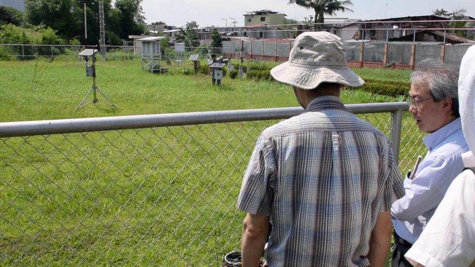
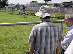
Local survey of locations of weather monitoring units of PAGASA
Survey on the locations of weather monitoring units in Manila
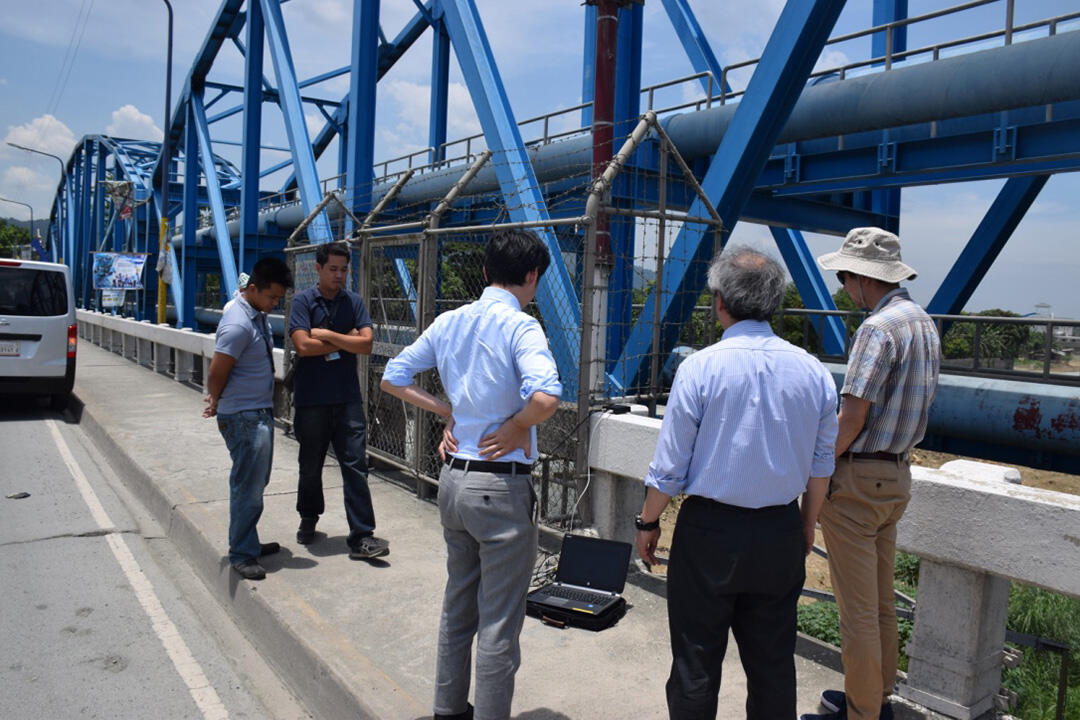
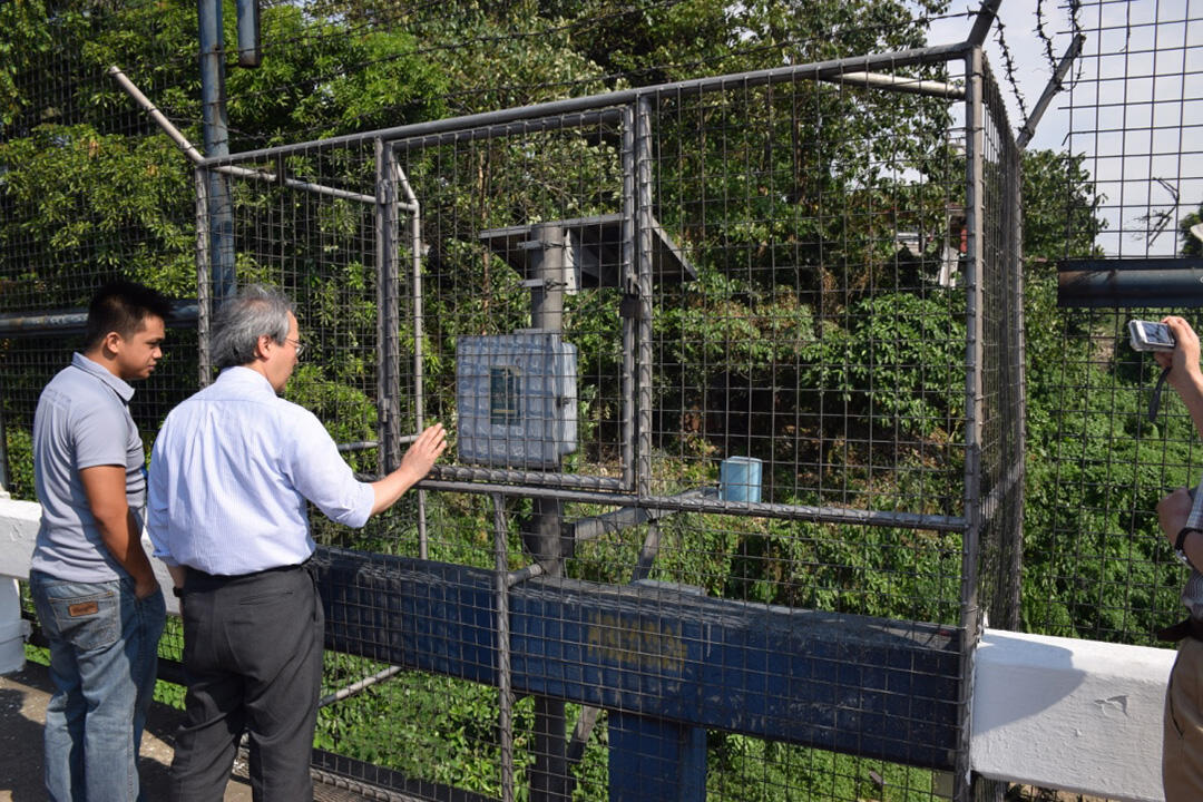
Environmental measurement performed on a bridge parapet in Manila
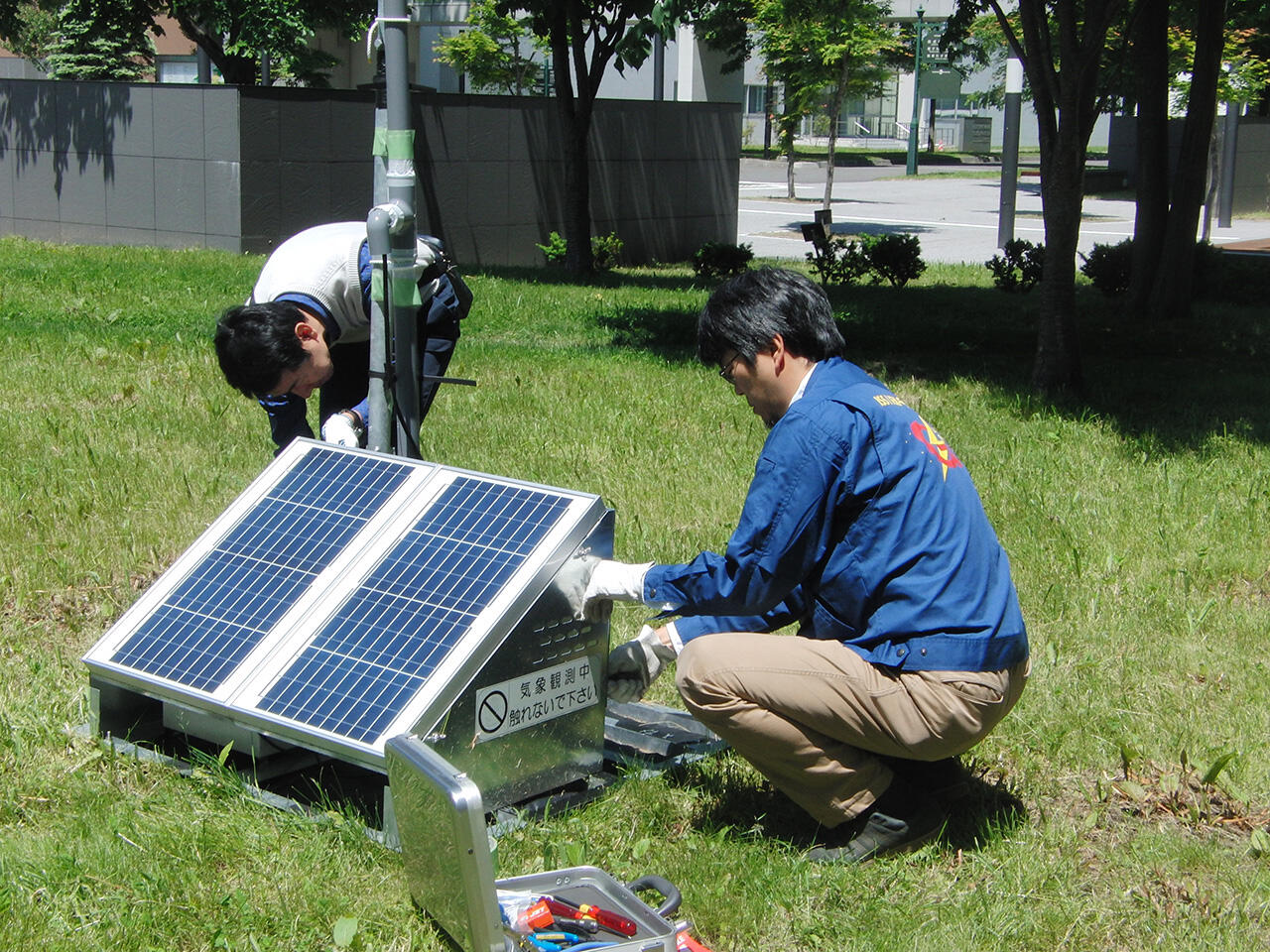
Demonstration test of a weather monitoring unit performed in Japan
Research Project Web site
Press Release
Links
Projects
Contact Us
Japan Science and Technology Agency (JST)
Department of International Affairs
SATREPS Group
TEL : +81-3-5214-8085


Related articles by Category
- Disaster Prevention and Mitigation
Disaster Prevention and Mitigation

 Kingdom of Tonga
Volcanic island nations working together to reduce the risk of eruption and tsunami disasters!
Disaster Risk Reduction of Widespread Volcanic Hazards in Southwest Pacific Countries
- Philippines
Bioresources
- Republic of the Philippines
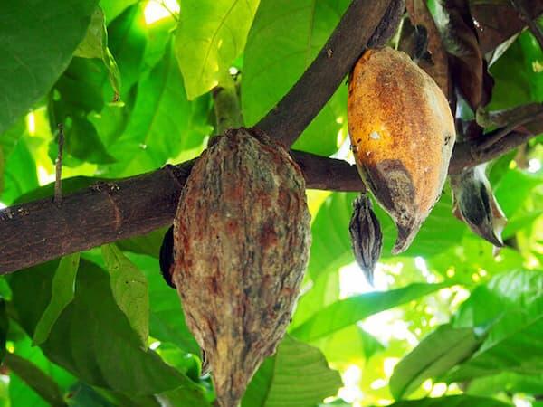
Bring new ideas to the fight against intractable banana and cacao crop diseases!
Development of Novel Disease Management Systems for Banana and Cacao
- Asia
Environment / Energy
(Global-scale environmental issues)
 Kingdom of Thailand
“Natural rubber seeds”, the unlimited potential hiding in natural rubber plantations
Utilization Technology of Rubber Seeds for Green Products to Mitigate Global Warming and Plastic Pollution
- SDGs : Goal.13
Environment / Energy
(Carbon Neutrality)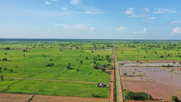
 Kingdom of Cambodia
Using water management to reduce methane emissions from rice paddies!
Development and Social Implementation of Greenhouse Gas Emission Reduction Technologies in Paddy Fields of West Tonle Sap Lake by Establishing a Large Paddy Area Water Management System