Science and Technology Research Partnership
for Sustainable Development
Font size
- A
- A
- A


Development of Integrated Expert System for Estimation and Observation of Damage Level of Infrastructure in Lima Metropolitan Area
Disaster Prevention and Mitigation
 Republic of Peru
Development of Integrated Expert System for Estimation and Observation of Damage Level of Infrastructure in Lima Metropolitan Area
Use sensors to create a system that immediately assesses damages from earthquakes and tsunamis!
Principal Investigator
-


Prof.
Earthquake Research Institute, The University of Tokyo
KUSUNOKI Koichi
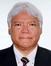
Prof.
Japan Peru Center for Earthquake Engineering Research and Disaster Mitigation (CISMID), National University of Engineering
Carlos Zavala
ODA Recipient Country
Republic of Peru
Research Institutions in Japan
The University of Tokyo / The National Institute of Advanced Industrial Science and Technology / Tohoku University / Chiba University / Institute of Science Tokyo / Nagoya University
Research Institutions in Counterpart Country
Peru National University of Engineering / Geophysical Institute of Peru / Direction of Hydrography and Navigation / Ministry of Housing, Construction and Sanitation / Service of Water and Sewerage of Lima / Ministry of Transportation and Communication / Aerospatial National Comission / National Center of Estimation, Prevention and Disaster Risk Reduction / National Institute of Civil Defense / Ministry of Education / Ministry of Health / Lima Metropolitan City Office
Adoption fiscal year
FY 2020
Research Period
5 Years
Overview of the Research Project
Speed up decision-making related to earthquake disaster response in Lima
Earthquake and tsunami disasters occur suddenly, and their effects are widespread. In order to respond effectively to a disaster, it is important to get an overall picture of the damage as soon as possible. However, people usually gather information about the status of earthquakes or tsunamis, and about damage to buildings and infrastructure, etc. by checking each aspect separately, mainly using visual inspection and manual processes. By making full use of modern sensor technology, we intend to develop a system that can grasp the whole picture of the scope of the damage as quickly as possible after the occurrence of a disaster and rapidly integrate the findings into a geographical information system with display capabilities.
Immediately grasping the full extent of damage caused by an earthquake or tsunami makes it possible to take appropriate measures
Development of a disaster information integration system—capable of quickly grasping information about the occurrence of earthquake and tsunami disasters and about ensuing damage to buildings and infrastructure, integrating that information, and displaying it in real time to people in charge of implementing disaster countermeasures?could contribute to a significant reduction in the number of people harmed or killed because they failed to flee in time, and would likely be adopted in earthquake-prone countries around the world.
Photo gallery
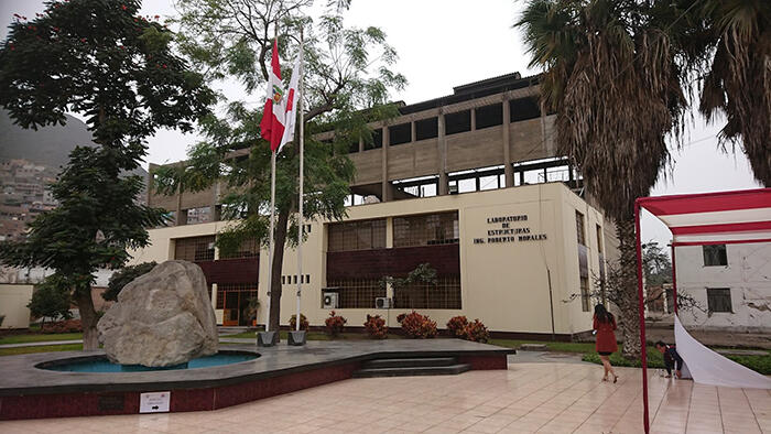
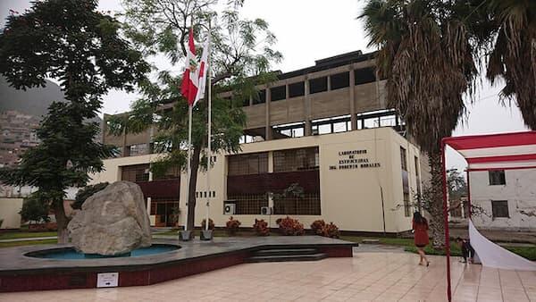
Structures Laboratory of the Japan-Peru Center for Earthquake Engineering Research and Disaster Mitigation (CISMID)
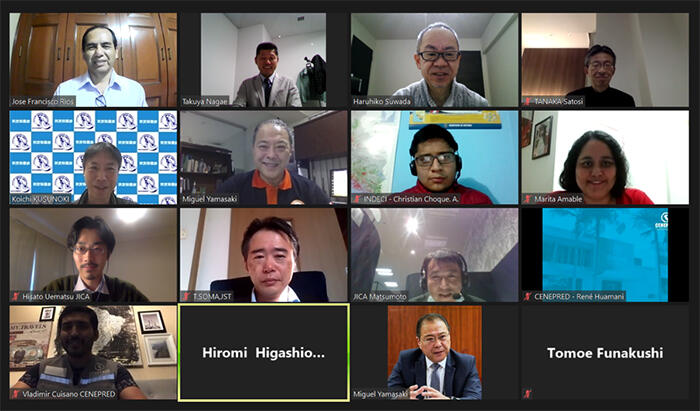
Conferencing online enables the project to continue despite the COVID-19 pandemic
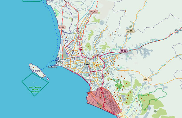
Geographical area subject to study
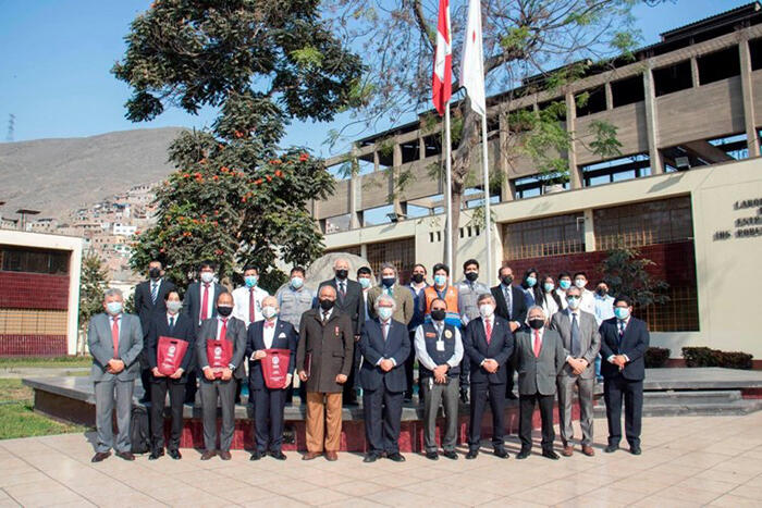
Ceremony welcoming Japanese Ambassador at CISMID
Research Project Web site
Press Release
Links
Projects
Contact Us
Japan Science and Technology Agency (JST)
Department of International Affairs
SATREPS Group
TEL : +81-3-5214-8085


Related articles by Category
- Disaster Prevention and Mitigation
Disaster Prevention and Mitigation

 Kingdom of Tonga
Volcanic island nations working together to reduce the risk of eruption and tsunami disasters!
Disaster Risk Reduction of Widespread Volcanic Hazards in Southwest Pacific Countries
- Peru
Bioresources
- Republic of Peru
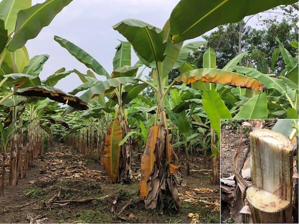
Stop the invasion and spread of banana wilt from threatening the banana industry!
Establishment of an Alert System for Fusarium oxysporum f. sp. cubense, the Banana and Plantain Wilt Pathogen, and Mitigation Strategy of the Disease
- Latin America
Disaster Prevention and Mitigation
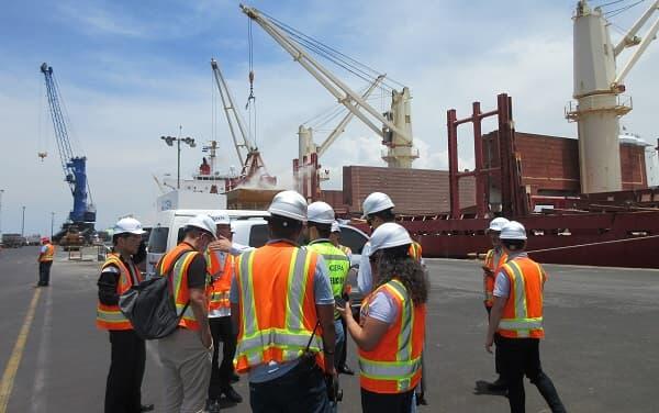
 Republic of El Salvador
Protecting international port cities from compound disasters with dominostyle chains of destruction!
Compound Disaster Risk Reduction associated with Large Earthquakes and Tsunamis
- SDGs : Goal.9
Bioresources
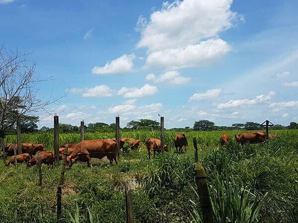
 Republic of Colombia
Enabling sustainable beef production by eliciting the power of cattle and grasslands on a digital platform!
Creation of Beef Value Chain by Optimizing Ruminal Microbiota and Grassland Management on Digital Platform