Science and Technology Research Partnership
for Sustainable Development
Font size
- A
- A
- A


Development of Landslide Risk Assessment Technology along Transport Arteries in Viet Nam
Disaster Prevention and Mitigation
 Socialist Republic of Vietnam
Development of Landslide Risk Assessment Technology along Transport Arteries in Viet Nam
Reducing Landslide Disasters that Block Sustainable Development across the Country
Principal Investigator
-


Executive Director, Dr.
International Consortium on Landslides (ICL)
SASSA Kyoji
ODA Recipient Country
Socialist Republic of Vietnam
Research Institutions in Japan
International Consortium on Landslides (ICL) / Tohoku Gakuin University (TGU) / Forestry and Forest Products Research Institute (FFPRI)
Research Institutions in Counterpart Country
Institute of Transport Science and Technology (ITST)
Adoption fiscal year
FY 2011
Research Period
5 Years
Overview of the Research Project
Finding a way to reduce landslide disasters is essential for national development
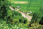
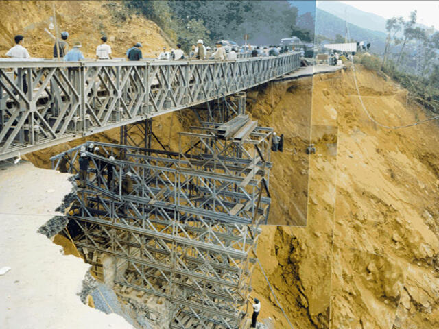
Vietnam, Laos, Myanmar, and other countries in the mountainous areas of the Greater Mekong Subregion are subject to frequent landslide disasters caused by factors such as weak ground and heavy rain. Landslide disasters damage roads and other infrastructure, and are a pressing issue for national development plans. This project is attempting to develop technology for predicting landslide disasters, identify slopes with a landslide risk, assess hazard risks, and develop early warning systems, thereby contributing to sustainable development in Vietnam.
Formation of a disaster research network and monitoring of landslide disasters
In the mountainous area between north and south Vietnam, researchers have conducted landslide surveys along arterial roads and the national railway network to identify slopes for installation of monitoring instruments, procured the instruments and prepared for installation. A new high-stress landslide ring-shear simulator capable of simulating initiation and motion of large-scale landslides with a depth of 100m has already been successfully developed. In 2012-2013, seven engineers from Vietnam were invited and accepted to master and doctor courses in Japan, and we have produced landslide teaching materials for training purposes. In 2012, a landslide network was established, with members being seven institutions in Southeast Asia. The project aims to develop landslide risk assessment technology, and to extend the landslide research network throughout the mountainous areas of the Greater Mekong Subregion.
Photo gallery
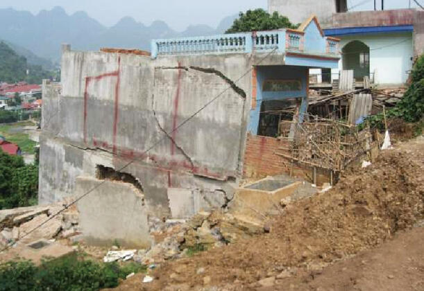
Damage to residences from landslides in Son La, the capital of Son La Province in Vietnam
In Vietnam and other countries in the Greater Mekong Subregion, ensuring safety from damage to arterial roads and railways caused by landslides is a basic condition for sustainable development. For this reason, Japanese scientific and technical assistance is needed.
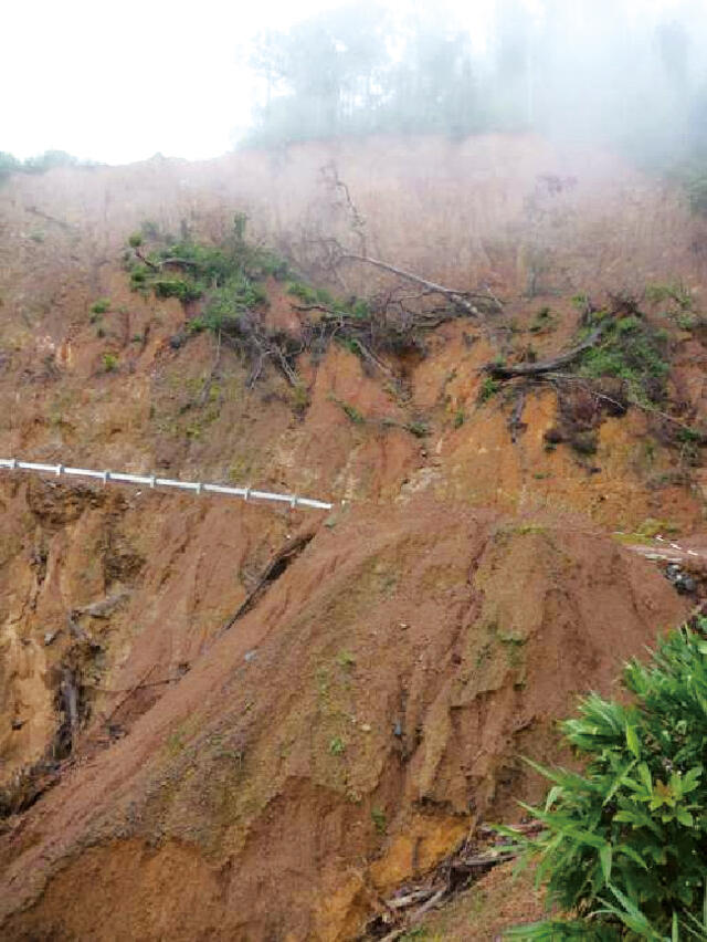
Landslide on National Highway No. 1 (in Central Vietnam)
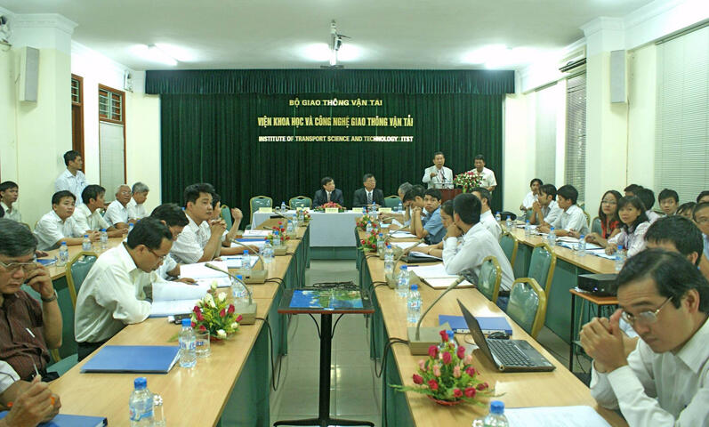
Japan-Vietnam Joint Meeting at the Institute of Transport Science and Technology of Vietnam
Research Project Web site
Press Release
Links
Projects
Contact Us
Japan Science and Technology Agency (JST)
Department of International Affairs
SATREPS Group
TEL : +81-3-5214-8085


Related articles by Category
- Disaster Prevention and Mitigation
Disaster Prevention and Mitigation

 Kingdom of Tonga
Volcanic island nations working together to reduce the risk of eruption and tsunami disasters!
Disaster Risk Reduction of Widespread Volcanic Hazards in Southwest Pacific Countries
- Vietnam
Environment / Energy
(Global-scale environmental issues)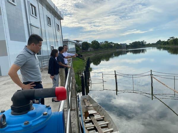
- Socialist Republic of Vietnam
From grossly contaminated river water to drinking water!
Establishing Sustainable Water Supply System Resilient to the Contamination of Drinking Water Sources
- Asia
Environment / Energy
(Global-scale environmental issues)
 Kingdom of Thailand
“Natural rubber seeds”, the unlimited potential hiding in natural rubber plantations
Utilization Technology of Rubber Seeds for Green Products to Mitigate Global Warming and Plastic Pollution
- SDGs : Goal.11
Disaster Prevention and Mitigation
 Republic of El Salvador
Protecting international port cities from compound disasters with dominostyle chains of destruction!
Compound Disaster Risk Reduction associated with Large Earthquakes and Tsunamis